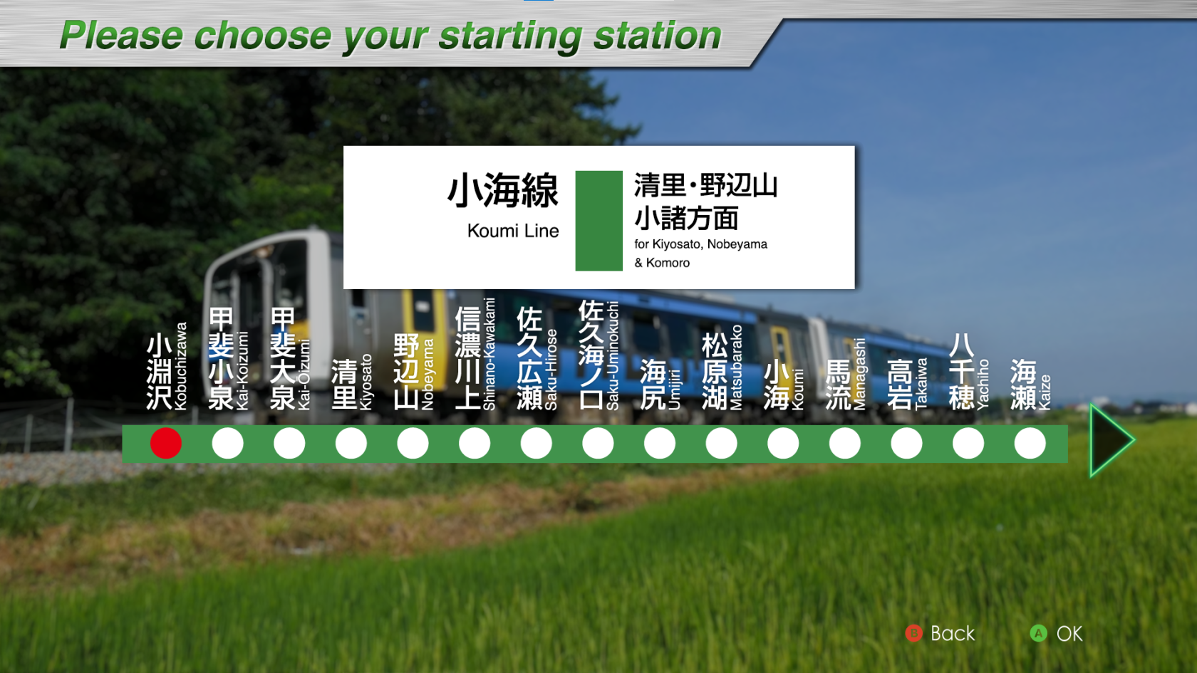
Koumi Line
Introducing
The Koumi Line is a 78.9 km long line connecting Kobuchizawa Station in Hokuto City, Yamanashi Prefecture and Komoro Station in Komoro City, Nagano Prefecture. The line was opened in 1919 by its predecessor, Saku Railway, between Koumi and Komoro Stations. In 1935, the line was extended to Kobuchizawa Station and opened to traffic. Since its opening, the Koumi Line has been a popular commuter rail line and a gateway to sightseeing in Kiyosato and Nobeyama.
The greatest feature of the Koumi Line is that it runs at high elevation. Between Kiyosato and Nobeyama stations, the line passes through the highest point on the JR line at 1,375 meters above sea level, and the nine stations between Kai-Koizumi and Matsubarako stations are among the nine highest elevation stations on the JR line, giving the line its nickname, "Yatsugatake Kogen Line (Yatsugatake Plateau Line)".
Along the line, highland vegetables are cultivated at high altitude and in the cool summer climate, and near Nobeyama Station, the train runs through an expanse of highland vegetable fields. Ekiben that incorporate fresh highland vegetables from Yatsugatake picked along the line are also popular.
In July 2017, "HIGH RAIL 1375," a sightseeing train with a planetarium inside, began operation, running between Kobuchizawa and Komoro stations mainly on Saturdays and holidays.
In this DLC, the train from Kobuchizawa Station to Kai-Koizumi Station makes a major 180-degree change of direction on a curve built on embankment with the Yatsugatake mountains at its side; from Kiyosato Station to Nobeyama Station, the train runs up a steep slope with a maximum grade of 33‰ to the highest point on the JR line; and from Shinanokawakami Station to Koumi Station, the train offers a powerful view across multiple layers of the Chikuma River, known as the longest river in Japan.
Key data
- Line Length: 78.9 km
- Number of stations: 31
- Safety system: ATS-P(R)
- Train model: KiHa E200 serie (2 cars)
- Max speed: 85 km/h
- Max speed after signals:
- Reduced speed (green/yellow): 65 km/h
- Caution (yellow): 45 km/h
- Speed restriction (yellow/yellow): 25 km/h
- Routes:
- Nakagomi ~ Komoro (131D) : Type "Local" - 11 stations - 13.4 km
- Kobuchizawa ~ Nobeyama (227D) : Type "Local" - 5 stations - 23.4 km
- Kobuchizawa ~ Komoro (229D) : Type "Local" - 31 stations - 78.9 km
- Automatic announcements: No
- Conductor announcements: Yes
- Driver announcement (pointing-and-calling): Yes
Stations list
| Station name |
Japanese name |
Distance from Kobuchizawa (km) | JRETS connections |
| Kobuchizawa | 小淵沢 | 0 | |
| Kai-Koizumi | 甲斐小泉 | 7,1 | |
| Kai-Ōizumi | 甲斐大泉 | 12,2 | |
| Kiyosato | 清里 | 17,5 | |
| Nobeyama | 野辺山 | 23,4 | |
| Shinano-Kawakami | 信濃川上 | 31,5 | |
| Saku-Hirose | 佐久広瀬 | 34,9 | |
| Saku-Uminokuchi | 佐久海ノ口 | 39,7 | |
| Umijiri | 海尻 | 42,1 | |
| Matsubarako | 松原湖 | 44,8 | |
| Koumi | 小海 | 48,3 | |
| Managashi | 馬流 | 49,9 | |
| Takaiwa | 高岩 | 51,7 | |
| Yachiho | 八千穂 | 53,9 | |
| Kaize | 海瀬 | 56,5 | |
| Haguroshita | 羽黒下 | 57,8 | |
| Aonuma | 青沼 | 59,5 | |
| Usuda | 臼田 | 60,9 | |
| Tatsuokajō | 龍岡城 | 62,1 | |
| Ōtabe | 太田部 | 64,1 | |
| Nakagomi | 中込 | 65,5 | |
| Namezu | 滑津 | 66,5 | |
| Kita-Nakagomi | 北中込 | 68,4 | |
| Iwamurada | 岩村田 | 70,6 | |
| Sakudaira | 佐久平 | 71,5 | |
| Nakasato | 中佐都 | 72,4 | |
| Misato | 美里 | 73,8 | |
| Mitsuoka | 三岡 | 75,3 | |
| Otome | 乙女 | 76,4 | |
| Higashi-Komoro | 東小諸 | 77,4 | |
| Komoro | 小諸 | 78,9 |
Movie
Useful links
Wikipedia: https://en.wikipedia.org/wiki/Koumi_Line
Driver's guide and timetables: https://docs.google.com/spreadsheets/d/13W8ED-yEI50aB4v5rghOVSVIH8BQW3wN35ft3O3LlTQ/edit#gid=490039574

